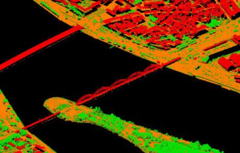
Three-dimensional model of Riga’s territory terrain developed by “METRUM” will help prevent flood risks
“METRUM”, the surveying and territory planning company, developed a three-dimensional Riga’s terrain model which will help identify and prevent the urban area flood risks. The data obtained by means of the airborne laser scanning method will also be used in the future during planning and modeling of new buildings, facilitating and making the decision-making process more objective.