METRUM | a view into the future
METRUM creates a safe, orderly, comfortable and economically developed environment to be proud of, passing it on to future generations. We purposefully perform our tasks, creating accurate, reliable and safe solutions in the long term, observing dynamic technological development. However, behind technological solutions, we do not lose humane and respectful relations.
Our brand is recognized in the market for our values, delivering on the promises we make. Mans.metrum.lv ensures the transparency of work performance.
Action
we perform the works, reaching the maximum quality, observing what is stipulated in the contract. Solution-oriented operation - we support and help each other. Our cooperation partners see METRUM as a whole.
Reputation
building a relationship with the client, finding out their wishes and providing an appropriate service. Needs - we fulfill and slightly exceed the client's expected result. Security - the client has security about the performance of the service and the quality of the result.
Solutions
competence - knowledgeable specialists work in our team, education, the latest trends are an employee's everyday life. Interest - our team consists of result-oriented employees with self-initiative. The result over the process - employees oriented to process optimization. Loyalty – interested, responsible employees for the set company values.
METRUM | IN THE NUMBERS
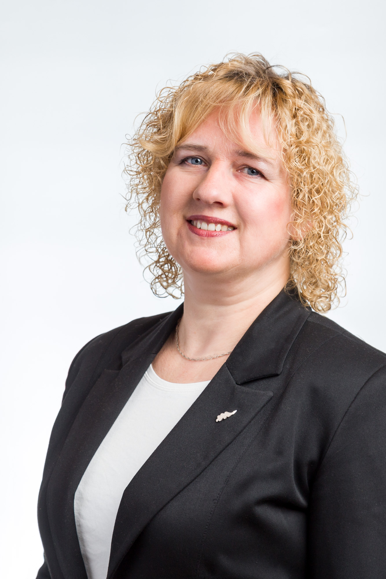
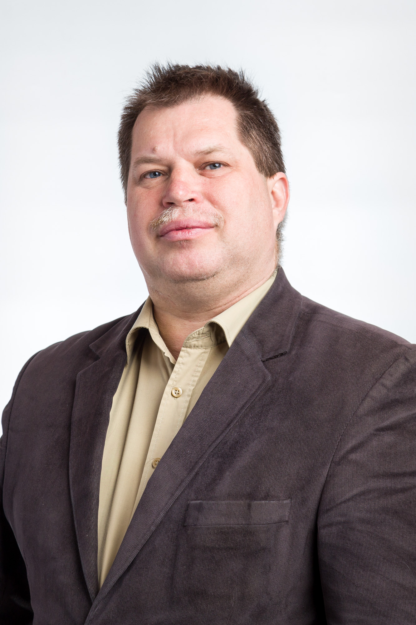
METRUM | MANAGEMENT
METRUM | history
Experience, knowledge, wisdom are the pillars of METRUM’s values. But at the same time, by investing time in young people, educating them, putting them into practice, we are always able to be innovative and be one step ahead of the times in providing solutions. We have created part of today’s geospatial information environment in Latvia, introducing new methods and technologies that are adopted by both our customers and competitors. METRUM was created with the aim of providing qualitative services and innovative solutions in surveying and territory planning in 2005, bringing together experienced and professional surveying and territory planning specialists in the company.
Since the first year of operation, METRUM services are provided throughout the territory of Latvia by a wide network of branches, which makes METRUM services and consultations more accessible to customers. Already in the first year of operation, METRUM becomes the market leader among private surveying companies, serving 22% of the surveying and territory planning market.Continuing rapid technological development and an innovative approach to providing services, at the end of 2006 “Metrum” SIA purchased a specialized aircraft for aerial photography and measurements from the air, as well as an aerial photogrammetry camera Leica ADS40 and an aerial laser scanner ALS50.
Aerial photogrammetry and laser scanning services are offered on the market starting from the 2007 flight season, carrying out projects for the Latvian sea coast, forest areas and the capital Riga. In 2007, the turnover of SIA “Metrum” reached EUR 6,314 million.
The company’s specialists independently develop new innovative products and services obtained using laser scanning and aerial photography data, including: creation of an airport air obstacle map, assessment of the volume of mineral extraction for quarry monitoring, creation of 3D and terrain models of several cities, development of orthophoto maps. As the first LIDAR, AEROFOTO large-format technology implementers in Latvia, we were also the first to use this product in the provision of services in the surveying industry, to use an unmanned aerial vehicle, which was built to METRUM’s order and equipped with a high-resolution fore camera. Currently, it has already become a mass product and is already used by many surveying companies, but the honor of the process and technology innovators and implementers belongs to METRUM.
METRUM was also the first to introduce Laser Scanning multi-point technology for building surveying. We are even one of the first to extract data in the field of surveying, adapting it to BIM needs.Currently, a lot of investment and research has been done for the generation of airspace data, where the greatest emphasis is placed on safety and traceability, data reliability and safety. Everything should be “transparent” when all involved and controlling organizations are able to verify the security of the data and its veracity. METRUM was one of the first in the world to prepare such data for airport obstacle mapping, and according to METRUM’s data collection methodology and the technology approved in Latvia, the airports and airports of Kazakhstan were measured, as well as some of the airports and airports of Lithuania and Armenia.
METRUM creates technology and offers solutions that are convenient and adaptable to the needs of any size. Starting from the needs of a small gardener, ending with a million-hectare land management company.
METRUM | quality

METRUM’s service provision processes are audited and verified in accordance with the ISO 9001 standard since 10.06.2008. Audited area “Territory and development planning. Development of photogrammetry and geospatial information system (GIS) products. Acquisition of aeronautical data. Cadastral and topographical surveying. Geodetic works. Consultations in the mentioned areas.”
METRUM’s service provision processes in aeronautical data generation are audited according to the audit plans of the State Agency “Civil Aviation Agency” since 21.04.2016.The aeronautical data within the competence of SIA “METRUM” is defined in the Formal Agreement No. VN-GSV-ANID-17/1 “On timely and complete provision of aeronautical data and aeronautical information”.
METRUM | Social responsibility
Regardless of the project or industry in which the task is carried out, METRUM applies the utmost attention to both the environment and social regulations. Any activity, regardless of whether it is the creation of a boundary plan or territory planning, is carried out by evaluating the principles of sustainable development. To improve the geospatial industry environment, METRUM has advocated and supports organizations to achieve industry performance quality benchmarks and visibility.
Latvijas Drošības un aizsardzības industriju federācija (DAIF)
DAIF was established in the spring of 2013 and unites a wide range of economic sectors, as well as the country’s leading universities and the research institutes, educational and research institutions established within them. FSDI Latvia is the only national-level organization representing companies and universities working in the security and defense sector, recognized as a cooperation partner by the Ministry of Defence, the Ministry of the Interior and the Ministry of Foreign Affairs. FSDI Latvia actively cooperates with state institutions, international organizations, as well as domestic and foreign business sector organizations that see a perspective in the security and defense sector.
LATVIJAS TĀLVADĪBAS GAISA KUĢU ASOCIĀCIJA (LARPAS)
The purpose of LARPAS is to unite and coordinate representatives of the remotely piloted aircraft systems (RPAS) industry – operators, manufacturers, insurers, training institutions, research and development (R&D) centers, as well as legislators, supervisory authorities and other stakeholders. It contributes to the increase of flight safety in Latvian airspace, as well as contributes to the overall development of the industry.
Latvijas Kartogrāfu un ģeodēzistu asociācija (LKĢA)
The Association of Cartographers and Geodesists of Latvia (LKGA) is an association of companies working in the surveying industry, the purpose of which is to promote the improvement of the surveying work environment and develop the industry, ensuring successful and effective cooperation between surveying professionals, state and local government institutions and clients.) is an association of companies working in the surveying industry , the purpose of which is to promote the improvement of the surveying work environment and develop the industry, ensuring successful and effective cooperation of surveying professionals, state and local government institutions and clients.
Latvijas ĢIS biedrība (LATGIS)
LATGIS is a public organization created by professionals working in the geographic information system (GIS) industry with extensive work experience in this field. The purpose of the association is to unite natural and legal persons engaged in system development, software delivery, production and use of geospatial information (GI) in professional activities, education, everyday life and hobbies. The association’s tasks are to popularize the possibilities and technologies of GIS in Latvia, identify the needs of users of geospatial information, develop educational programs related to geospatial information and represent the interests of the GIS sector at the national and international level. Representation in this organization is provided by METRUM’s subsidiary company SIA TOPO DATI.
Latvijas Tirdzniecības un rūpniecības kamera (LTRK)
LTRK is the largest business association in Latvia, which unites nearly 6,000 members (3,000 individual companies and 3,000 from business associations) – micro, small, medium and large companies, associations, urban business clubs, and other business associations from all regions and sectors. The association represents the interests of entrepreneurs, as well as provides services in order to have excellent companies in Latvia, in an excellent business environment. Its main areas of activity are business environment, competitiveness of companies, export.
MĒRniecības konsulatīvā padome (MKP)
In 2012, the Surveying Consultative Council was established at VZD, where representatives of the state, non-state sector and academia operate. The Council was established to promote the qualitative development of the field of surveying, to promote the exchange of opinions of the state administration and the private sector, creating a common understanding of the application of legal norms and their improvement, respecting the interests of those performing surveying work and the rights of the public. LKGA is represented by Ēvalds Ciematnieks, Methodical Manager of Cadastral Surveying of METRUM.

