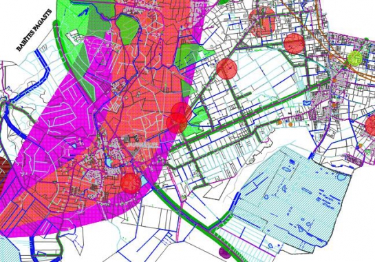
Public discussion on first edition of territorial planning of Viesati rural municipality of Tukums District has commenced
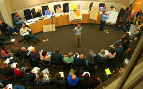
Public discussion on the first edition of the territorial planning 2007-2019 of Viesati rural municipality of Tukums district will last through September 26. At present, it is possible to view the developed document at Viesati rural municipality council and on web site http://www.METRUM.lv (section Projects); feedback about the document can be given to the local government.