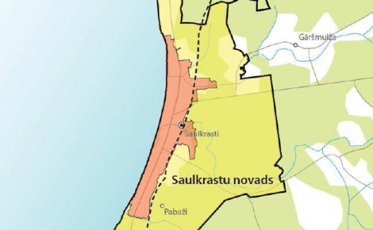
Public consultation on the first edition of Saulkrasti municipality spatial plan has begun
The public consultation regarding the first edition of the Saulkrasti municipality spatial plan for 2012–2024 has begun and will continue until May 9.

The public consultation regarding the first edition of the Saulkrasti municipality spatial plan for 2012–2024 has begun and will continue until May 9.

In the framework of the first edition of the spatial planning and the environmental review project of Sigulda region for the years 2012–2024 the social discussion has started and will last till April 16.
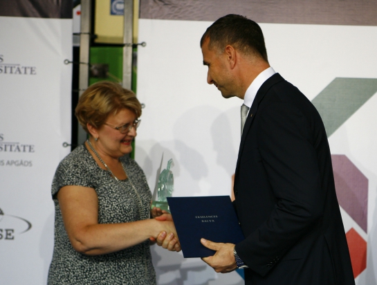
In August 25, as one of supporters of educational project “Natural Sciences and Mathematics”, “METRUM” participated in presenting the Excellency prize for best students and teachers.

At the State JSC “Latvian Railway” partner SIA “Thales Rail Signalling Solutions Baltics’ custom there were made a number of track 200 hectares the total area of topographic survey for the railway traffic control system modernization needs.
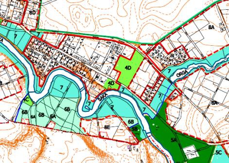
“METRUM” performed topographic survey and research work in Riga, Marupe, Babites and Pinki regions for upcoming large scale water devepoment projects
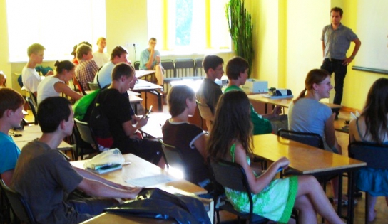
On February 4th , 2010, in Elizabete branch of METRUM, excursion was held for schoolchildren of Latvia within the framework of the event “Think differently! More scientifically!”
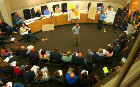
Public discussion on the first edition of the territorial planning 2007-2019 of Viesati rural municipality of Tukums district will last through September 26. At present, it is possible to view the developed document at Viesati rural municipality council and on web site http://www.METRUM.lv (section Projects); feedback about the document can be given to the local government.
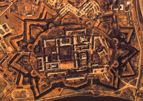
After competition we were granted rights to carry out aerial photographing of the entire territory of Latvia at scale 1:5000
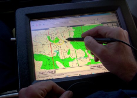
Larisa Reine, board chairman of METRUM, indicates that the new technology is to solve the major problems of forest inventory namely, assessor bias, time of execution, consumption of human resources and expenses.

Land surveying and territorial planning company “METRUM” has begun a project in Spain, during which data will be obtained by performing airborne laser scanning, and will then be preprocessed for the needs of the National Geographic Institute of Spain.