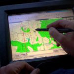
Public discussion on first edition of territorial planning of Viesati rural municipality of Tukums District has commenced
Public discussion on the first edition of the territorial planning 2007-2019 of Viesati rural municipality of Tukums district will last through September 26. At present, it is possible to view the developed document at Viesati rural municipality council and on web site http://www.METRUM.lv (section Projects); feedback about the document can be given to the local government.
Aerial photographing of the territory of Latvia
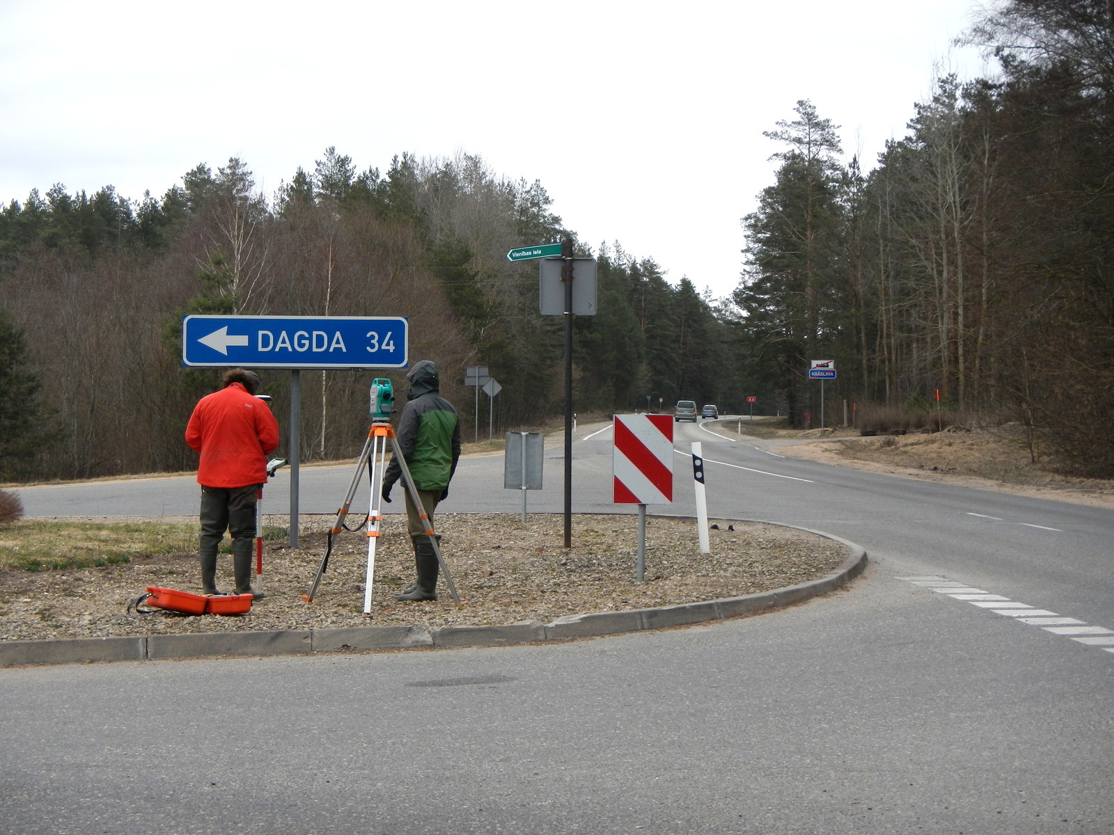
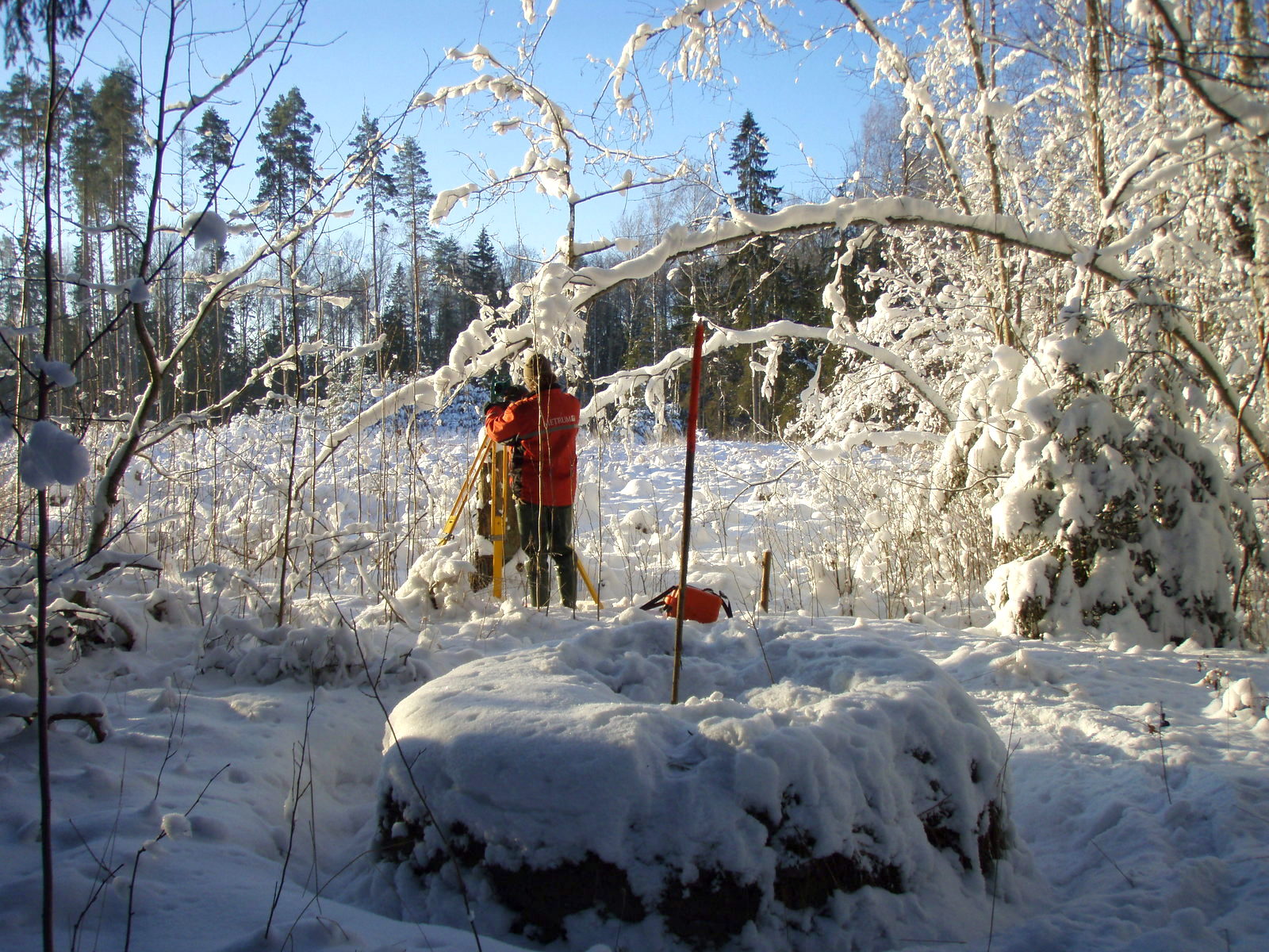
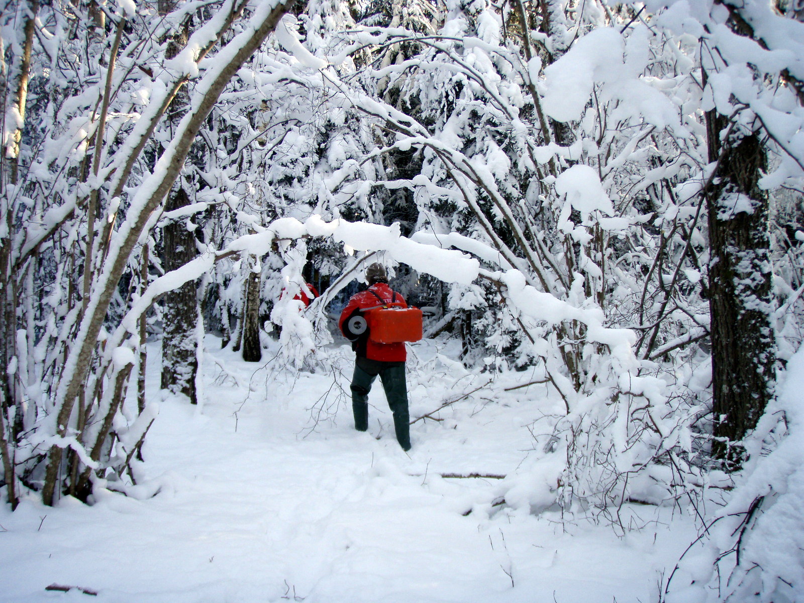
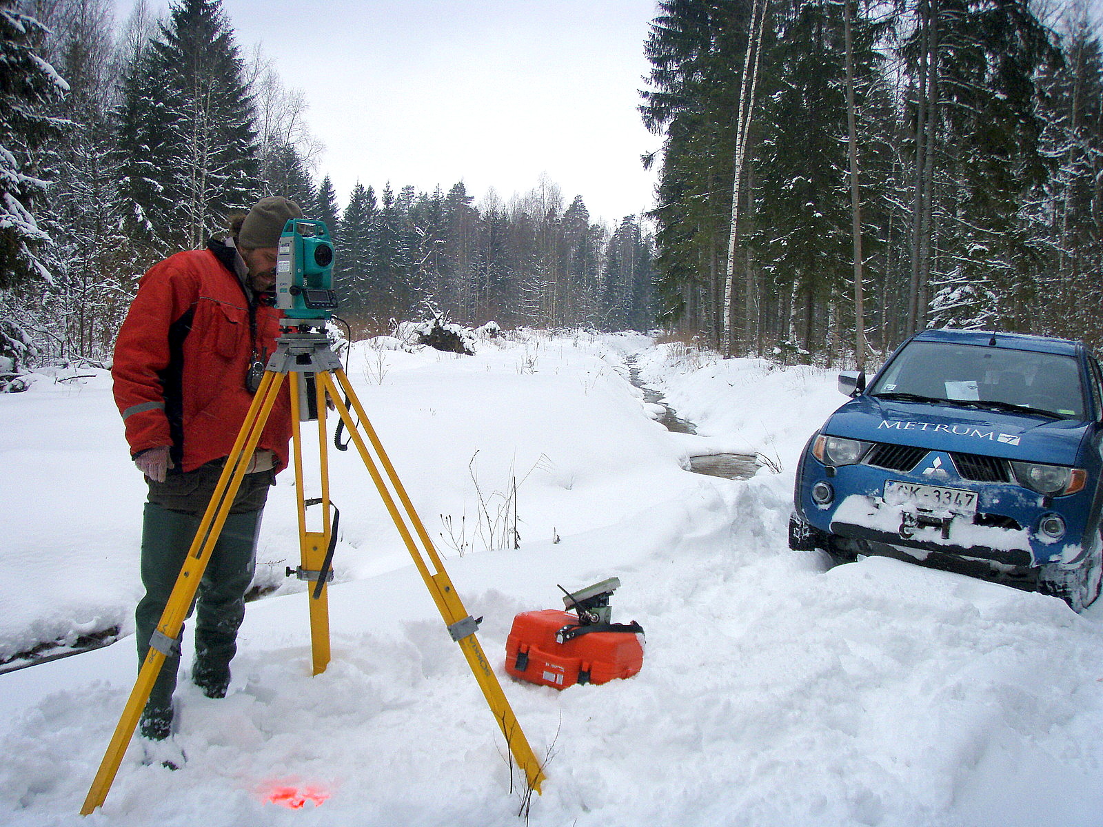
After competition we were granted rights to carry out aerial photographing of the entire territory of Latvia at scale 1:5000
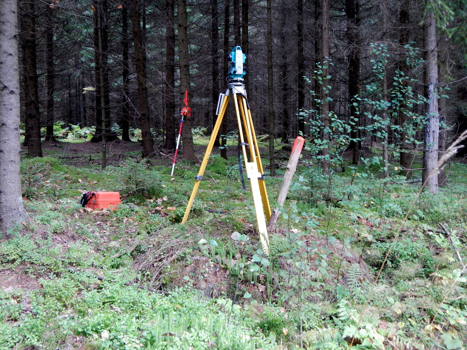
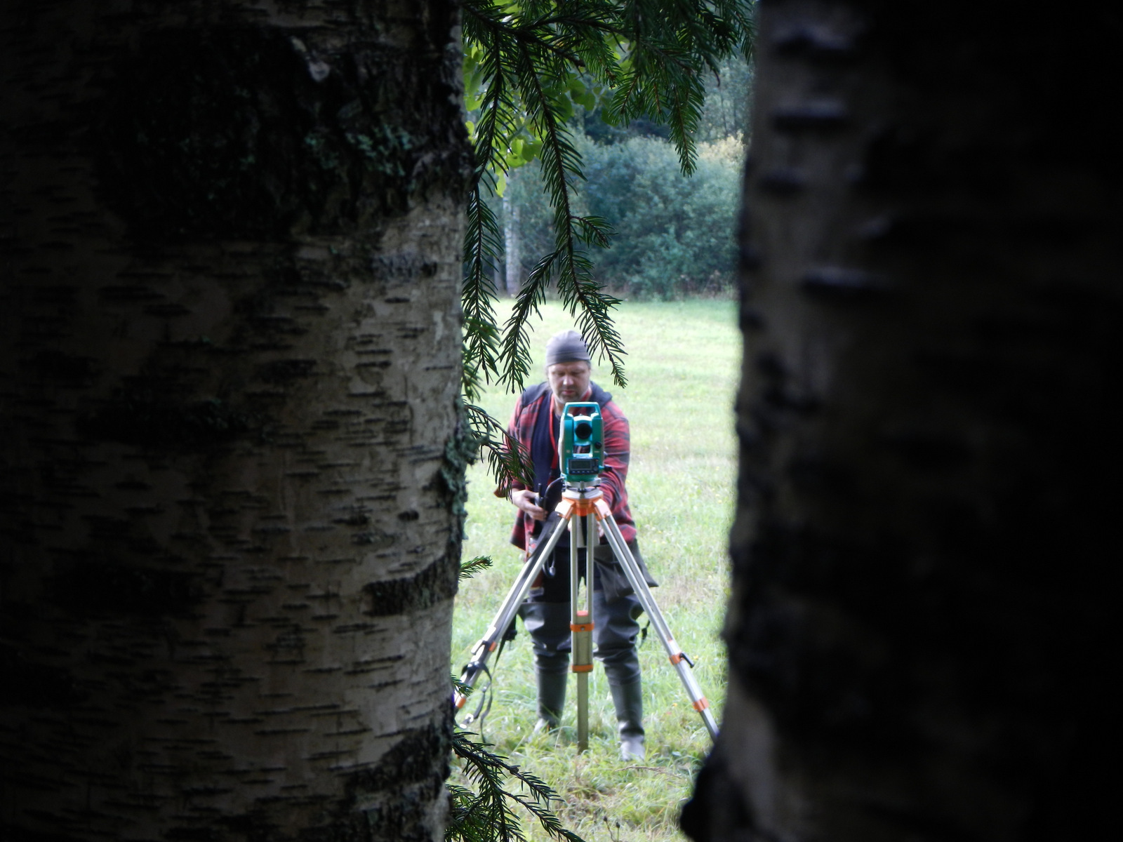
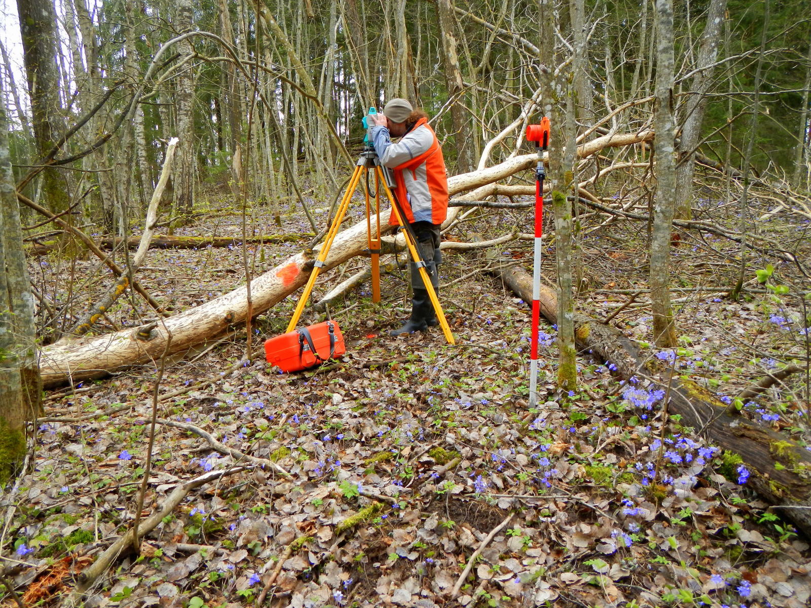
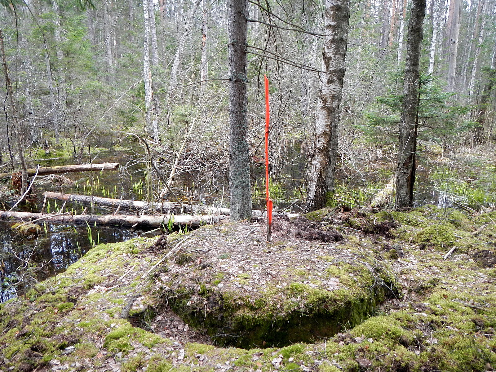
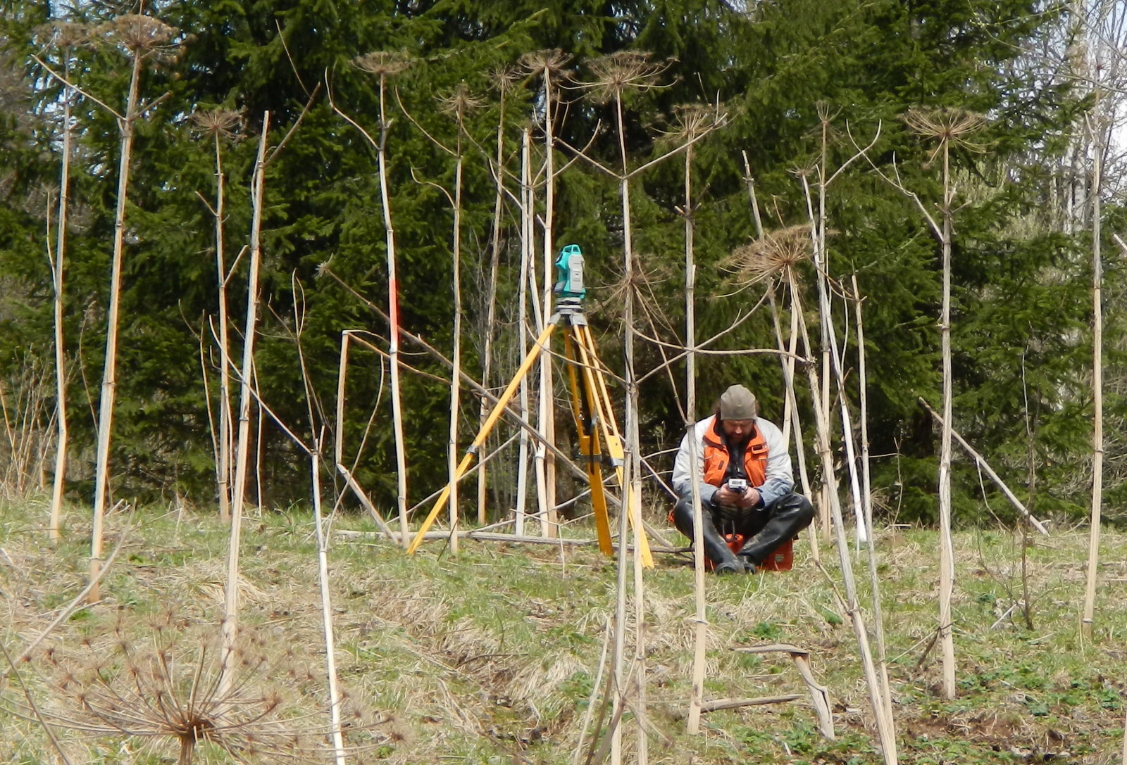
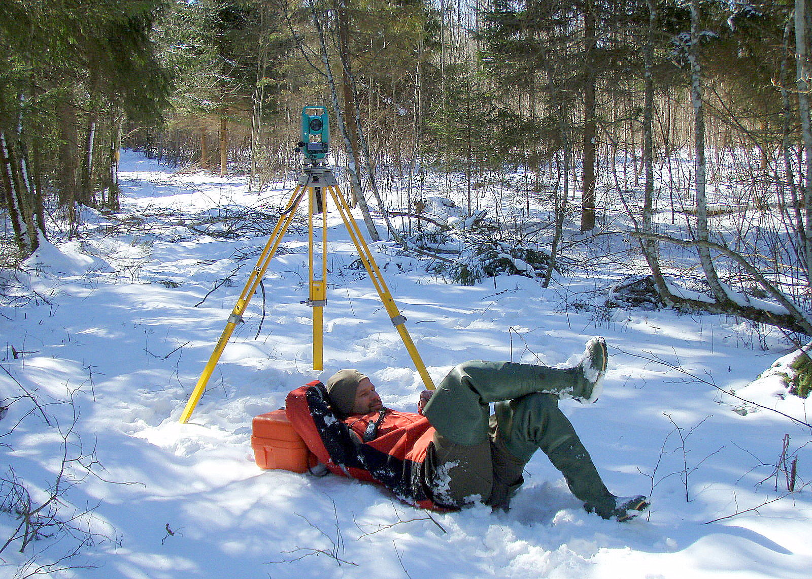
METRUM to implement the project “Development of a new forest inventory technology” with EU financing
Larisa Reine, board chairman of METRUM, indicates that the new technology is to solve the major problems of forest inventory namely, assessor bias, time of execution, consumption of human resources and expenses.

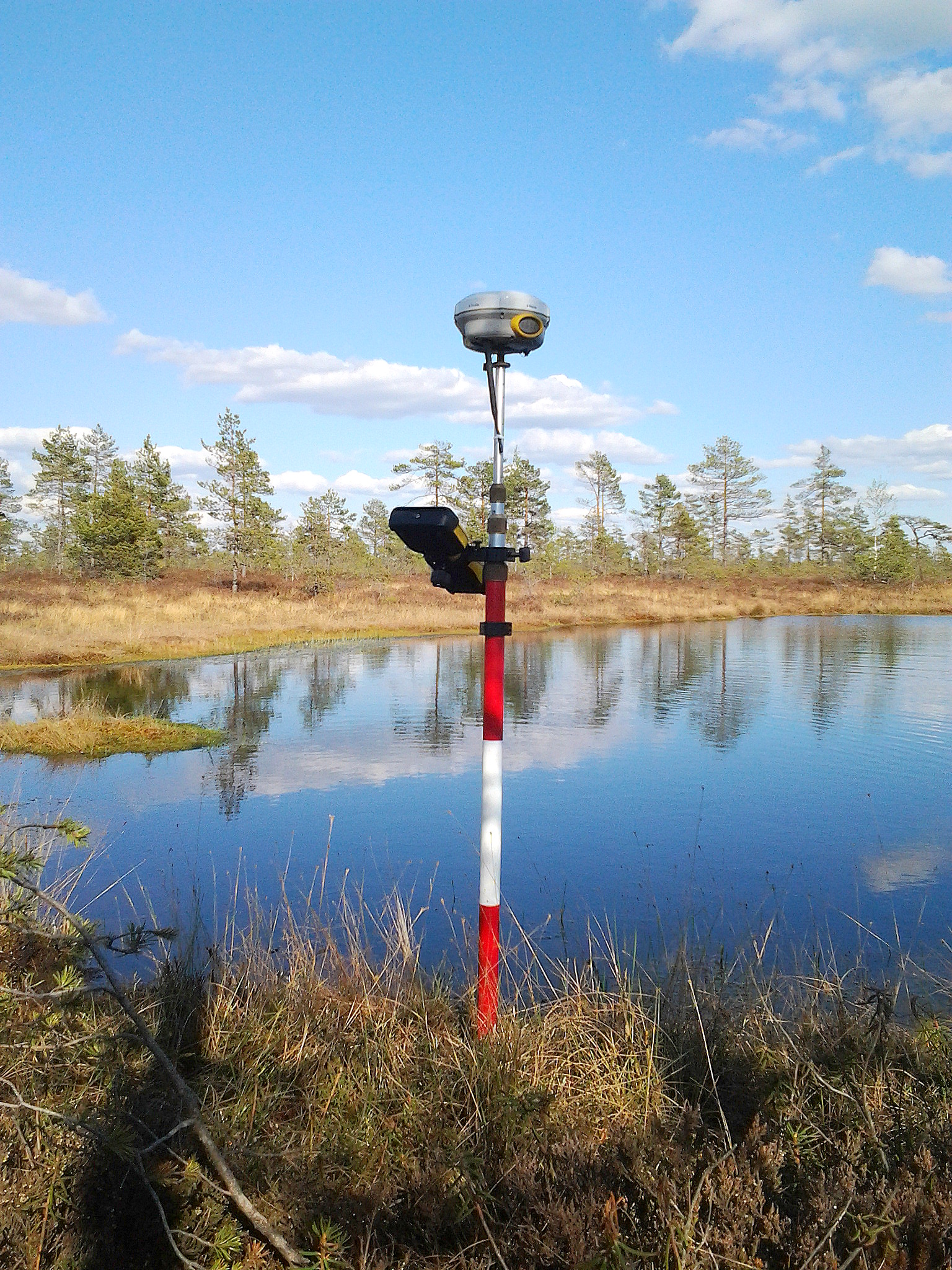
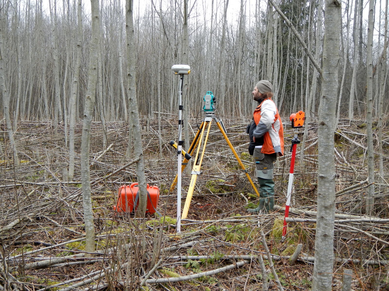
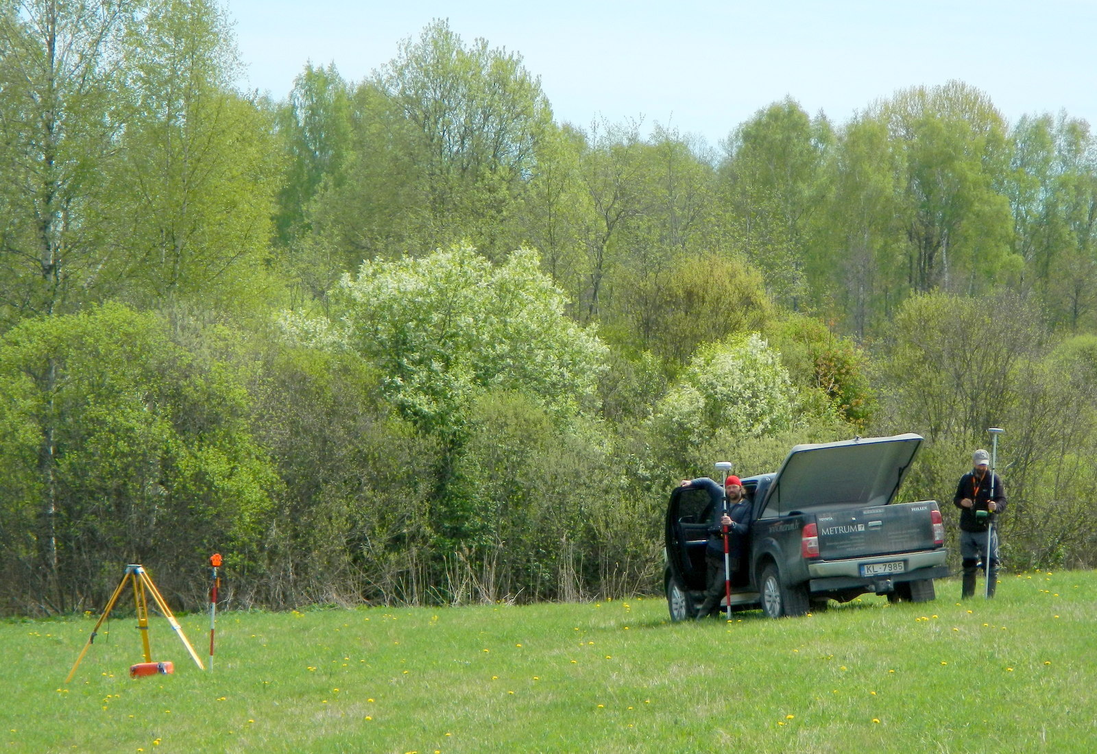
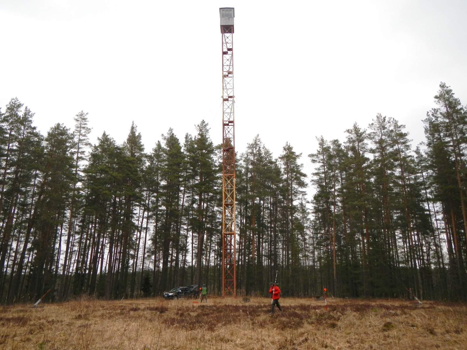
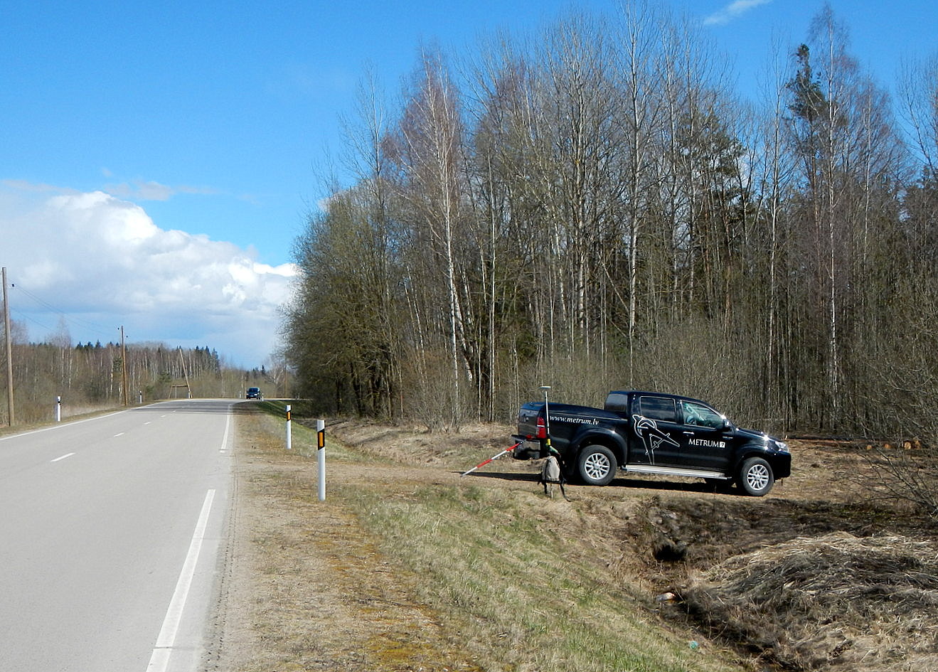
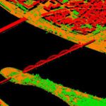
“METRUM” carries out major airborne laser scanning project in Spain
Land surveying and territorial planning company “METRUM” has begun a project in Spain, during which data will be obtained by performing airborne laser scanning, and will then be preprocessed for the needs of the National Geographic Institute of Spain.

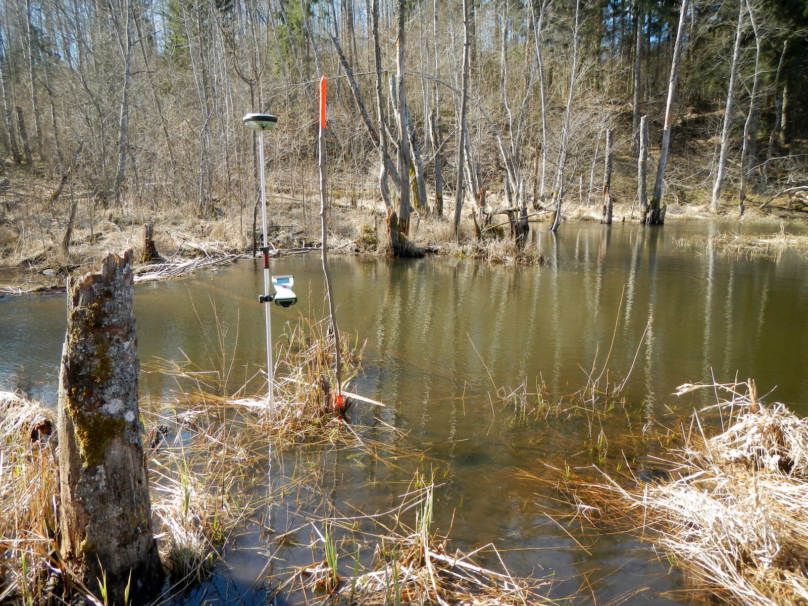
Three-dimensional model of Riga’s territory terrain developed by “METRUM” will help prevent flood risks
“METRUM”, the surveying and territory planning company, developed a three-dimensional Riga’s terrain model which will help identify and prevent the urban area flood risks. The data obtained by means of the airborne laser scanning method will also be used in the future during planning and modeling of new buildings, facilitating and making the decision-making process more objective.
Production of 3D relief model of Riga terrritory
In compliance with an order of Urban Development Department of Riga Council, aerial laser scanning of Riga was completed
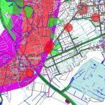
Marupescounty land use plan 2002 – 2014
Marupes County Land Use Plan for 2002 to 2014 final amendments are approved by the Parish Council Marupes May 20, 2009
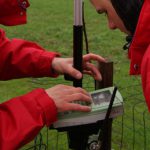
The Garden of Destinies will become interactive
“METRUM” realizes a unique project that gives an opportunity to take a stroll in the Garden of Destinies (Likteņdārzs), to determine the exact location of a memorial as well as to get the exhaustive information about the destiny of people embodied in a memorial to any person wherever he or she may be.

“METRUM” taking part in conference “Step Ahead” organized by students
On May 14th and May 15th, “METRUM” will take part in conference “Step Ahead” organized by international students’ organization AIESEC in order to tell about application of the latest technologies in their activity.

Aerial photographing un aerial laser scanning of Canary Islands
METRUM Ltd. carried out high-resolution aerial photographing and aerial laser scanning of surface and relief on the territory of 9,000 square kilometres of the Canary Islands