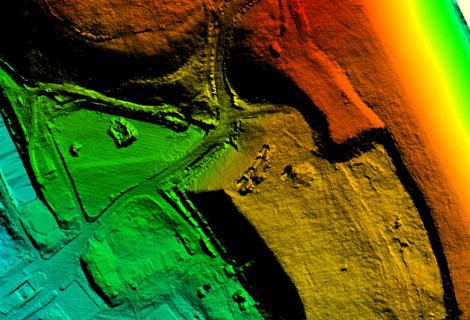
Aerial laser scanning of the territory of Lithuania
Via applying the specialized corporate aircraft, completed aerial laser scanning of 2/3 of the territory of Lithuania, and initial processing of the obtained data

Via applying the specialized corporate aircraft, completed aerial laser scanning of 2/3 of the territory of Lithuania, and initial processing of the obtained data
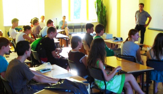
On February 4th , 2010, in Elizabete branch of “METRUM”, excursion was held for schoolchildren of Latvia within the framework of the event “Think differently! More scientifically!”
On the 15th of December, winners were announced in the final ceremony of the contest. “METRUM” won the 3rd place by its service in aeronautical obstacle mapping in the category “Innovative Product”.
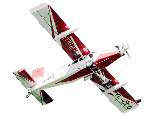
“METRUM” began producing air navigation obstacle maps in 2008, and the technology has been developed in line with Annexes 14 and 15 of the Convention on International Civil Aviation.
On the 4th of November, within the 2nd round of the contest category “Innovative Product”, development of maps of aeronautical obstacles via laser-scanning method, which is a novelty in the world, was demonstrated by “METRUM” to the committee of Investment and Development Agency of Latvia (LIAA).
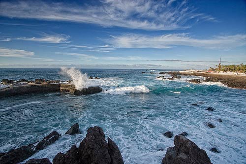
“METRUM” has concluded a contract for large-scale aerial photographing and laser-scanning in the Canary Islands, as well as going ahead with currently the largest project in the Baltic States.
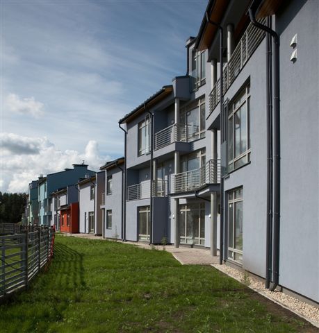
One of largest of Riga sub – urban area main development plan was developed.
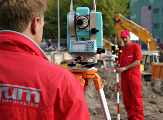
50-meter-wide band took the topography survey, established pipeline burial depth of the recorded communications
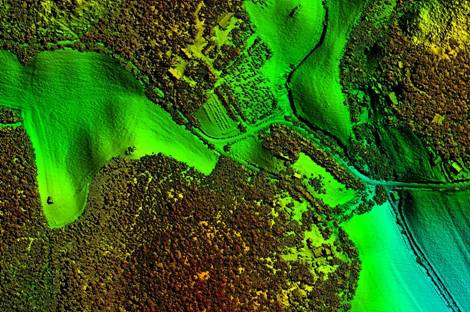
Aerial laser scanning works under several projects were completed in Finland via using the specialized corporate aircraft.
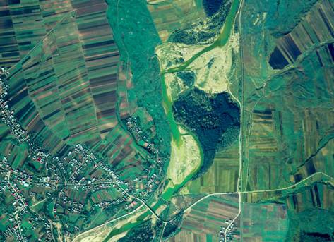
Company used its specialized corporate aircraft to carry out aerial laser scanning un aerial photographing works in Romania, over Siret River Basin and the territory of nine cities